
For a short climb close to the old town, choose Puig de Maria. For a full mountain day, use the official GR 221 route information and map. Pollença is a good base for both, but the right walk depends on distance, ascent, heat, route-finding and who is walking with you.
Last checked: 1 September 2026. Routes, access and weather can change, so check the linked official information again before setting out.
These are a few useful starting points near Villa Esquina. They are not a substitute for route planning, local conditions or your own judgement.
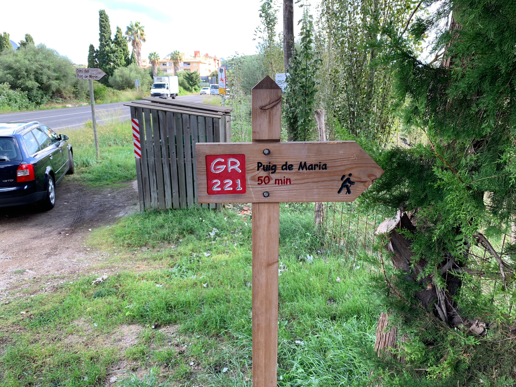
Puig de Maria: a local climb with a clear official route
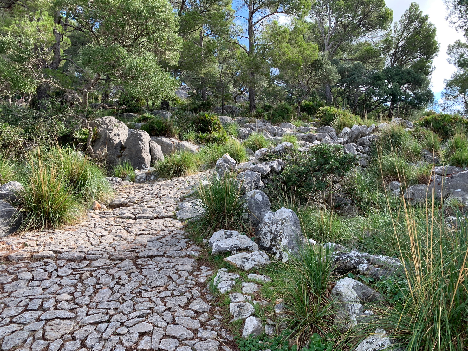
The Consell de Mallorca lists Puig de Maria as a 4.192 km circular walk, with 270 metres of ascent and descent, and an estimated walking time of 1 hour 39 minutes. Its official grade is easy, but that does not make it suitable for every person or every day. The route is not suitable for pushchairs or wheelchairs, and young children need careful supervision.
It is a satisfying choice for a shorter outing near Pollença, with the sanctuary and wide views at the top. Take water and sturdy footwear, and leave enough daylight for the descent.
Check the official Puig de Maria route information
GR 221 Stage 8: Son Amer to Pont Romà
This is a proper mountain stage, not a casual Pollença-to-Lluc stroll. The official GR 221 Stage 8 runs from Refugi de Son Amer, near Lluc, to Refugi de Pont Romà in Pollença: 17.450 km, around 4 hours 45 minutes, with 189 metres of ascent and 677 metres of descent. It is graded average by the Consell de Mallorca.
The direction matters. Walking it the other way changes the climbing profile, so do not rely on the published time or ascent figures for a reverse route. Use the official map and GPX track if this is the walk you are planning.
Check the official GR 221 Stage 8 route information
GR 221 Stage 9: Pollença to Port de Pollença
The final official GR 221 stage begins at Refugi de Pont Romà in Pollença and ends in Port de Pollença. It is 6.743 km, with an official time of 1 hour 25 minutes, only 2 metres of ascent and 54 metres of descent. The official grade is easy.
It can be a good way to link the town and the coast, but still check the route on the day, particularly if walking in heat or near traffic. Arrange your return before you leave, or build in time to enjoy the Port afterwards.
Check the official GR 221 Stage 9 route information
How to choose safely
- Choose a route for the least experienced person in your group, not the strongest.
- Check the weather before leaving and carry enough water, sun protection, suitable footwear and an extra layer when conditions warrant it.
- Use the official route map for GR 221 stages and variants. Do not assume that an online walking description is current.
- Tell someone where you are going, stay within your daylight window and turn back if conditions or confidence change.
- In an emergency in the Balearic Islands, call 112.
Planning a walking stay near Pollença
Our Pollença weather guide can help with seasonal planning, and our About Pollença page is useful for getting your bearings before you arrive. If you would like to stay at Villa Esquina while exploring North Mallorca, send us an enquiry. We handle dates, prices and arrangements personally.
For the full official network, including currently open and signposted stages and variants, use the Consell de Mallorca GR 221 information.